

Last modified on February 8, 2023 at 10:06 pm
Maps
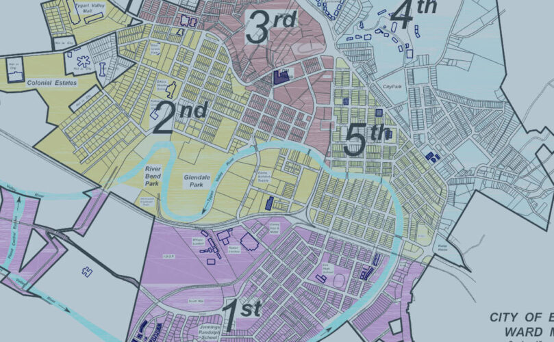
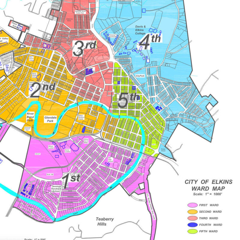
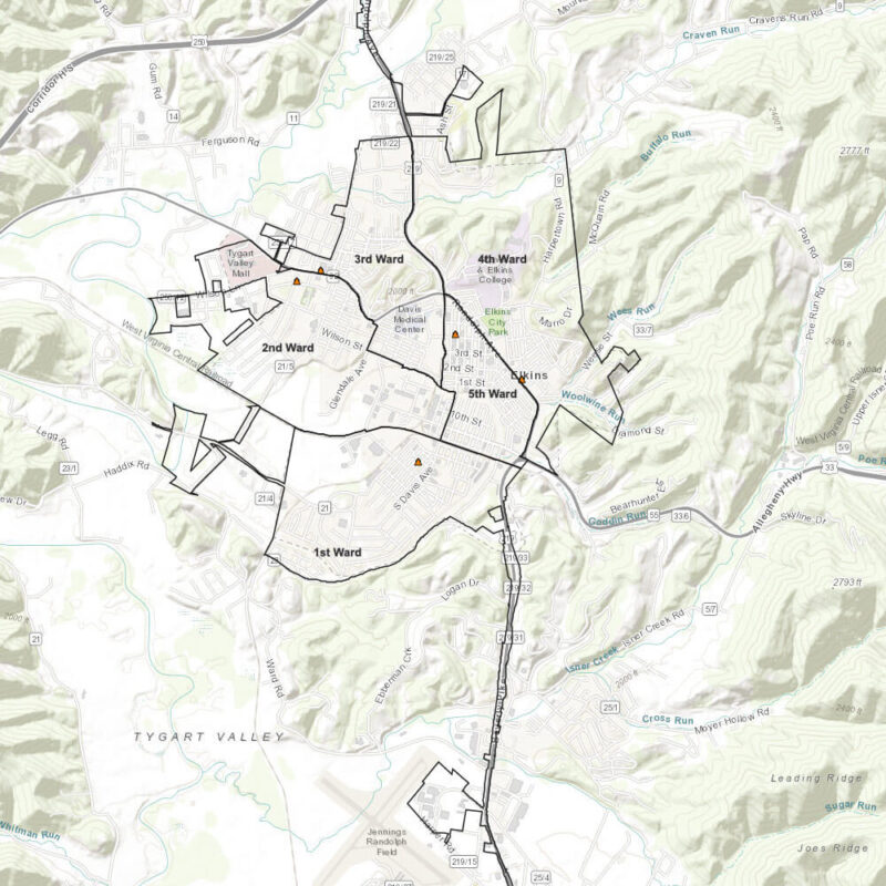
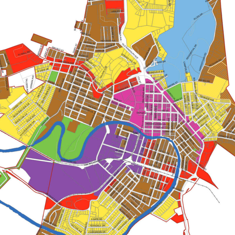
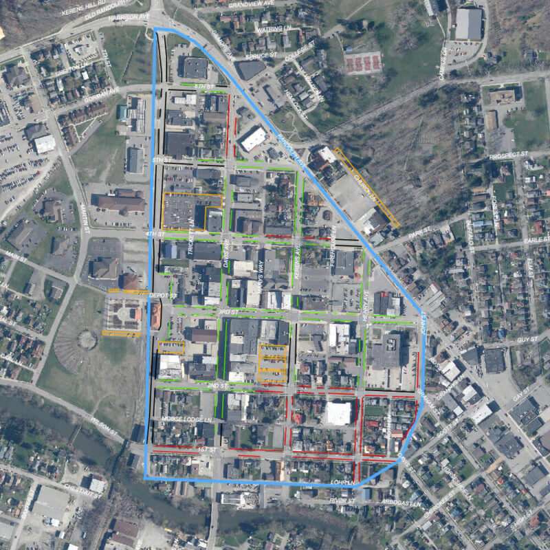
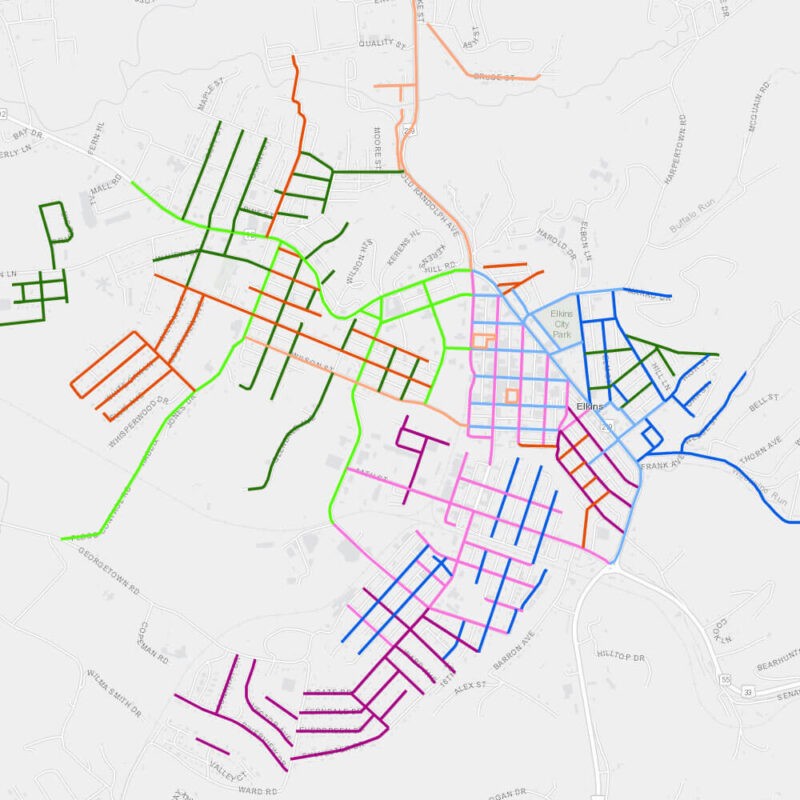
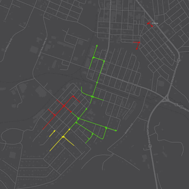
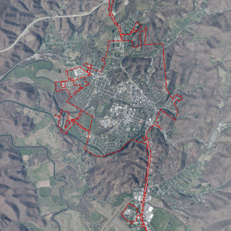
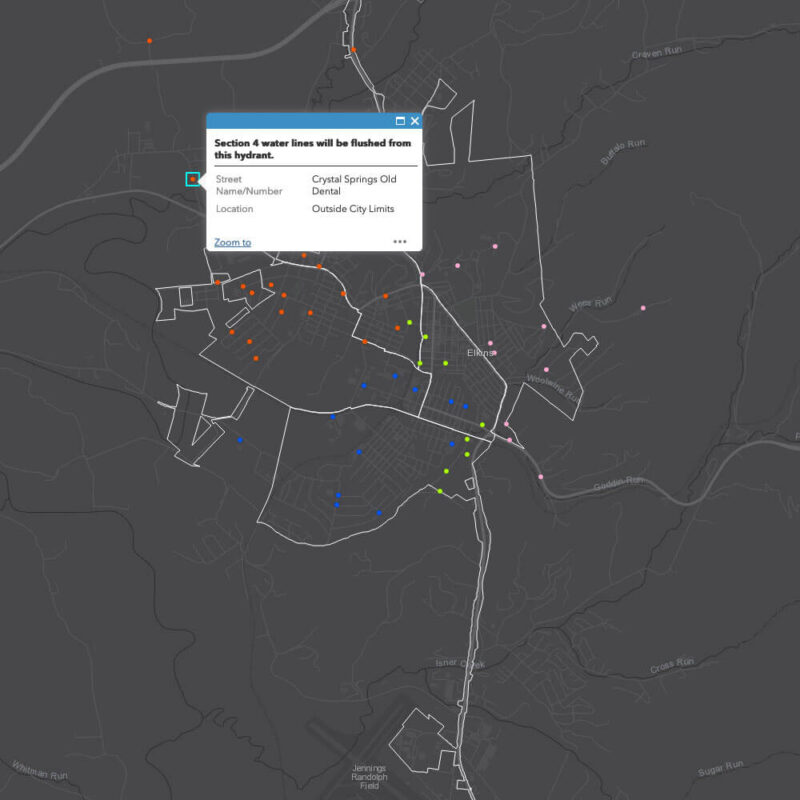
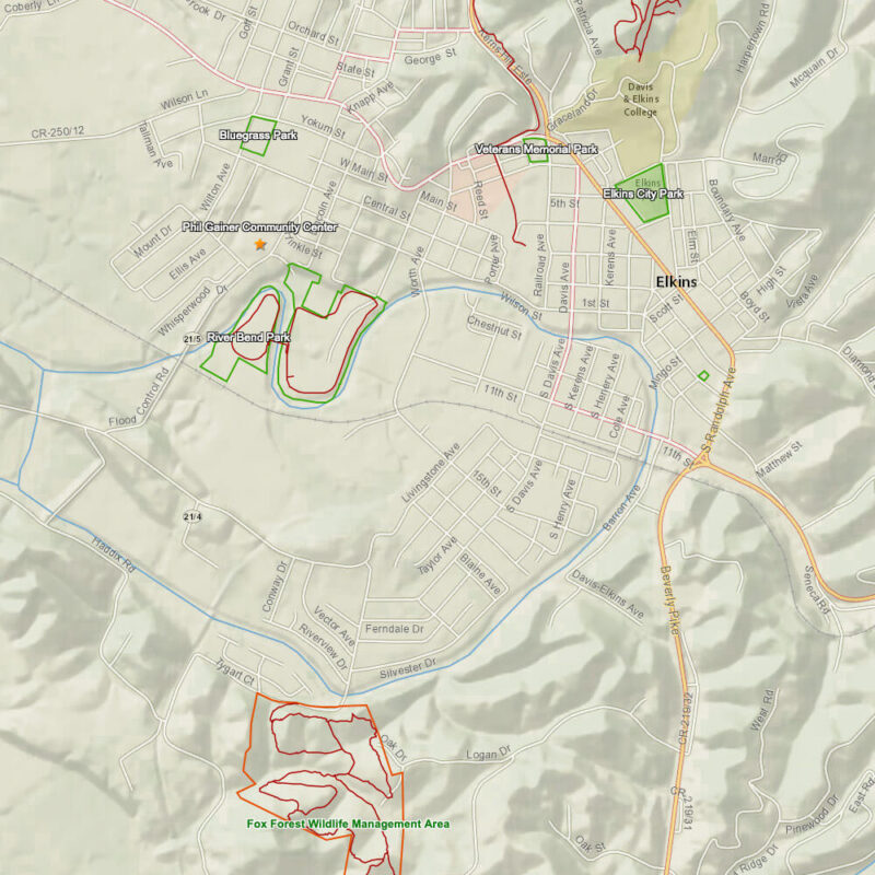
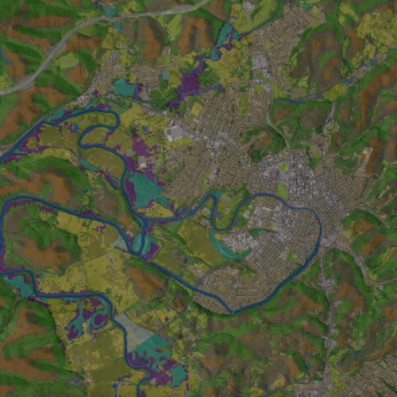
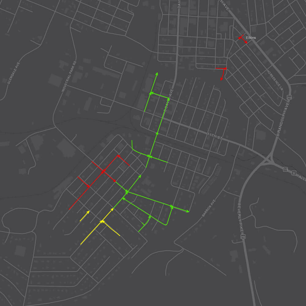
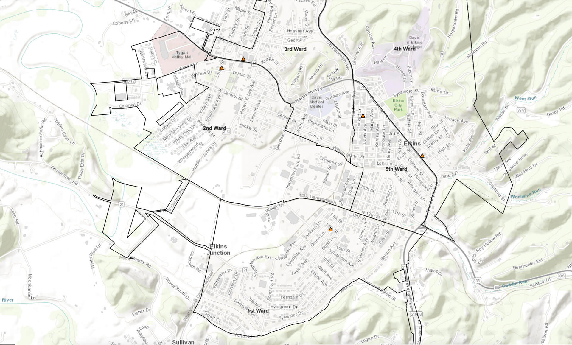
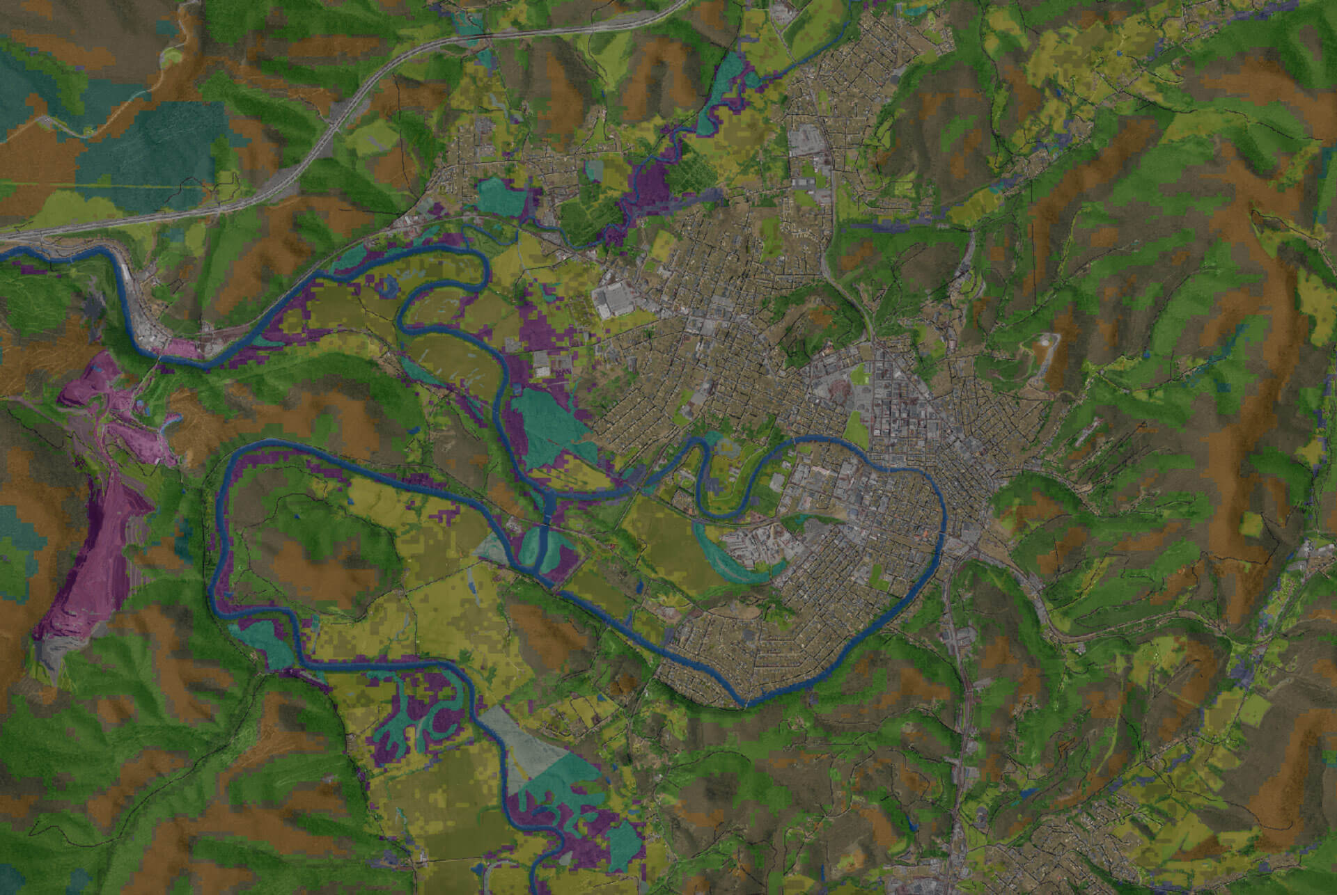
In addition to long established maps, zones, and wards, the City of Elkins strives to achieve a more informed citizenry and increase the efficiency of its municipal management by using Geographic Information Systems (GIS). GIS tools allow us to gather data, create visualizations, and perform analysis to better understand the workings of our city. By mapping the city’s infrastructure, political boundaries, crime, social features, and other ongoing projects and initiatives, and creating interactive interfaces for our residents, we hope to add spatial awareness to conversations around our city’s growth.